Scan the site. Find the asset. Verify the work.
Capture LiDAR point clouds and photo scans at surveyed coordinates. Then return to the project, raise the camera, and walk back to stored assets with live AR direction and distance. OpenSurvey3D keeps the scan, position, feature record, and QA evidence together on iPhone and iPad, and shares the project as a web map link when you choose.
Free · MIT licensed · No account · Built-in GPS to RTK · Local-first projects
One project. The complete field record.
Built around what happens outside
The app now follows the full job: organize the project, collect and capture, check the work, then hand it to the office in formats it already understands.
Survey
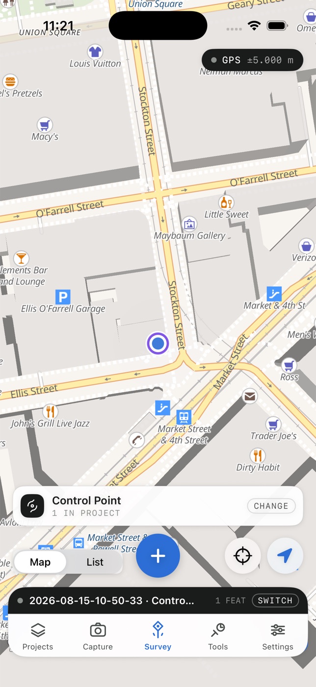
Collect points, lines, areas, and tracks with a live, offset, or manually placed position. Import design geometry and stake it out corner by corner, or along a line by station and offset.
Capture
Attach photos, video, LiDAR point clouds, and photogrammetry to the asset and observation that establish where they belong.
Find
Raise the camera to see nearby project assets as AR pins, choose a target, and follow live direction and distance back to its surveyed position.
Verify
Re-observe known coordinates, inspect residuals and exceptions, then share a PDF or HTML QA report alongside the data, or send the whole project as a web map link.
Fast field collection
Pick the feature. Take the shot. Keep moving.
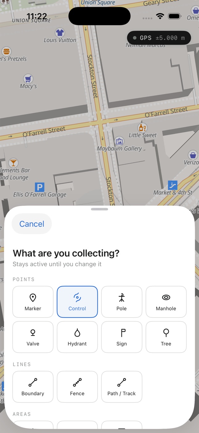
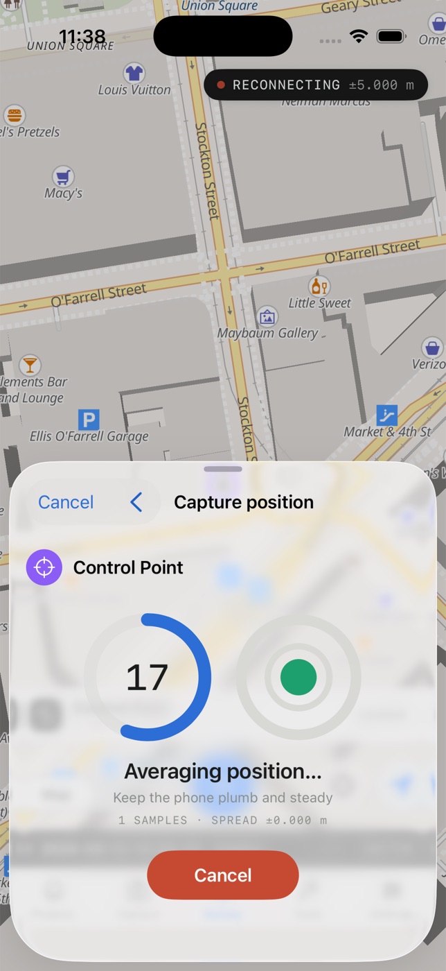
The active feature type stays with the project, so the blue collect button always has one job. Use a live GNSS position, average multiple samples with a level guide, or place a point at the map crosshair when reconnaissance is enough.
- Points, boundaries, paths, parcels, fields, and footprints
- Quick-save mode or a complete form with photos, notes, and attributes
- Live length and area while collecting multi-vertex geometry
- Recorded sample count and occupation spread on every averaged shot
Receiver-agnostic positioning
Use the source that fits the job — and show its limits honestly.
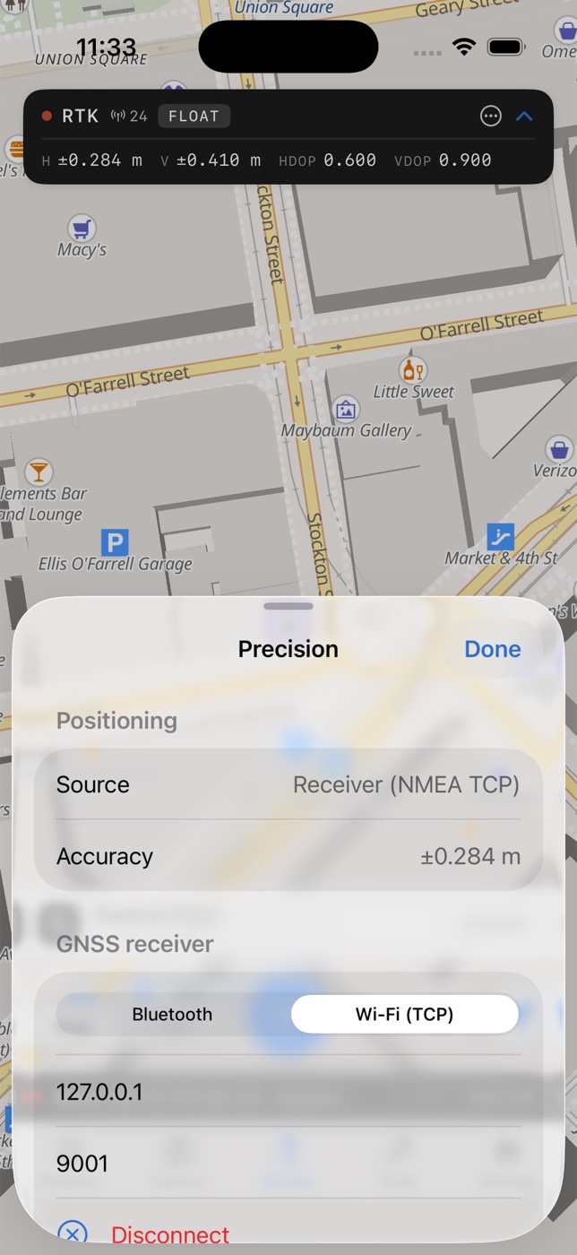
Start on the phone's location service, pair an Emlid Reach or Bad Elf Flex over Bluetooth, connect a Leica Zeno through Zeno Connect, or connect any rover streaming NMEA over Wi-Fi TCP. Each has a step-by-step connection guide. OpenSurvey3D parses the solution rather than reducing it to a colored dot.
Two ways to scan in 3D
Capture the site as a point cloud or a photo scan.
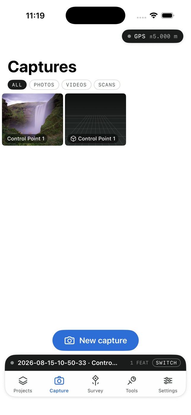
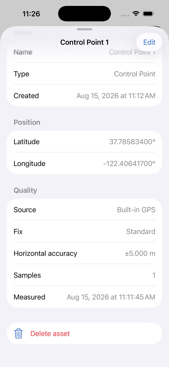
Lock a capture to a surveyed observation before the camera starts. Its origin, frame, accuracy, heading, fit, and source imagery stay with the record, ready for the project model and the QA report.
Live coverage
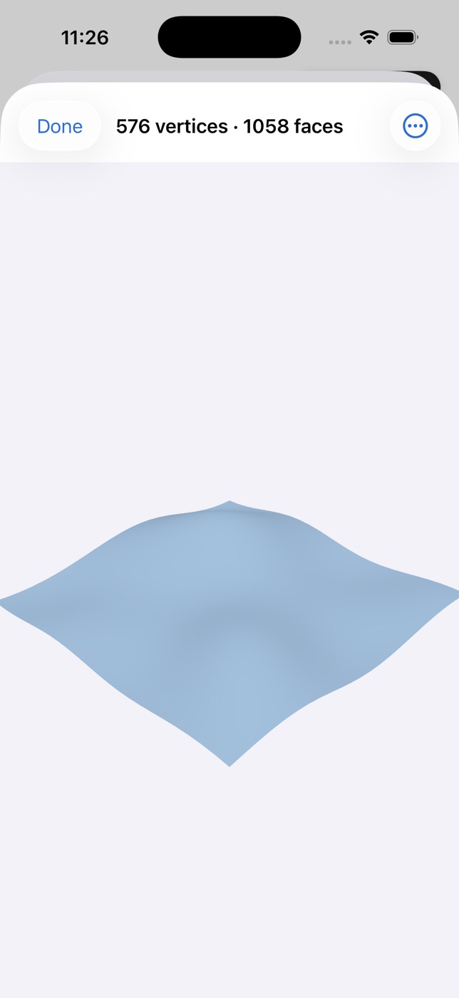
See the LiDAR surface wireframe over the camera as you sweep, then review coverage and tracking before a scan is filed.
Point cloud
Record LiDAR points, optional posed camera/depth frames, and the fix buffer needed for later processing, then export LAS in your zone.
Photogrammetry
Capture object or area photo sets with guided coverage, resumable processing, and georeferenced source shots.
3D site model
Build a terrain-and-imagery model for the working area, then view routes, points, labels, profiles, and scans together.
AR asset finding
Raise the camera. Walk back to what you surveyed.
Open a single asset or an entire project in AR. Stored project coordinates become camera-view pins, while a target card shows relative direction, bearing, and distance. It turns “somewhere near this dot on the map” into a path you can follow on the ground.
- Find control, utilities, inspection points, markers, and other recorded features
- See all project assets within 250 metres, or focus on one target
- Re-anchor after walking to refresh the local AR alignment
- Keep current position and heading uncertainty visible
Field acceptance
Estimated accuracy is not observed accuracy.
A receiver can estimate its own solution. Only a check against a known coordinate tells you how the work actually performed. OpenSurvey3D keeps those two ideas separate, then makes the distinction visible in the field report.
- Check imported design or collected control points
- Review ΔN, ΔE, ΔU, horizontal error, tolerance, and project RMS
- Flag missing checks, weak fixes, stale corrections, and incomplete capture coverage
- Share the acceptance record as PDF or HTML
Field to finish
Your codes, your layers, your deliverables.
Edit the feature-code library on the device. Give each feature its office code and CAD layer, then add typed text, number, choice, date, or yes/no fields. The form changes immediately, previously collected values are preserved, and the schema travels into the exports.
- CSV columns and GeoJSON properties retain codes and typed attributes
- DXF points and polylines land on feature-defined layers with labels and XDATA
- LandXML carries point codes, descriptions, and plan geometry in the declared project frame
- GeoPackage and Shapefile open in your state plane zone, and ground-scaled point files, DXF, and LandXML state their factor
- The project ZIP gathers data, QA, photos, scans, and 3D site files for handoff
- CAD layer
- V-SSWR-MHOL
- Material
- Concrete
- Diameter
- 1200 mm
- Inspected
- Yes
Local-first projects
Work without a signal. Hand off without a subscription.
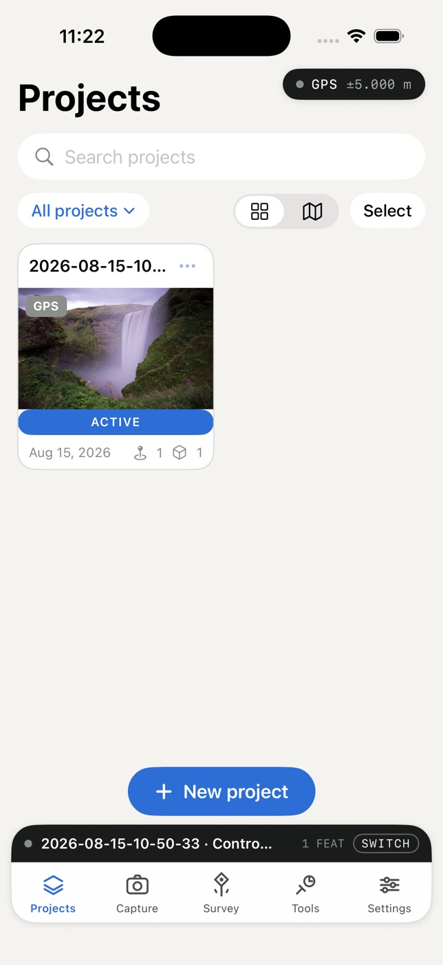
Download the visible map area before heading out, build and cache the 3D working area once, and keep every project, asset, attachment, and QA record on the device. There is no account gate between opening the app and taking the first shot, and nothing leaves the device until you export it or share it online.
Accuracy without the costume
The workflow is the same at every tier. The app changes what it claims, what it records, and what the data is suitable for.
| Position source | Typical accuracy | Appropriate work | What OpenSurvey3D records |
|---|---|---|---|
| iPhone / iPad location | 3–5 m | Recon, inventories, sketch mapping | Apple accuracy, samples, spread, timestamp, operator |
| External sub-meter GNSS | 0.3–1 m | GIS, utilities, environmental mapping | NMEA fix, GST RMS, DOP, satellites, receiver identity |
| RTK rover + corrections | 1–3 cm | Control, topo, stakeout, GCPs | Fixed/float state, correction source and age, baseline, offsets |
| Known-point check | Measured residual | Independent acceptance of the project | ΔN/ΔE/ΔU, tolerance, pass/fail, horizontal and vertical RMS |
From the field guide
Practical writing on the workflows behind the app — from the raw GNSS stream to the field report and the office drawing.
Finding Surveyed Assets in AR: From Map Coordinate to Camera View
How live GNSS, device heading, and stored project coordinates turn the camera into a practical find-mode — and where AR precision ends.
Feature Codes, DXF, and LandXML: A Field-to-Finish Workflow
How field codes, typed attributes, CAD layers, and survey interchange formats eliminate office retyping.
Check Shots and Field QA: Measuring the Accuracy You Actually Achieved
Why receiver RMS is not a check, and how known-point residuals turn estimates into evidence.
Georeferenced 3D Capture on iPhone: Meshes, Point Clouds, and Photo Scans
Choosing a capture mode, anchoring it to survey control, and preserving the record behind the model.
What Is RTK GNSS? Centimeter-Accurate Surveying, Explained
How carrier-phase corrections turn an affordable receiver into a centimeter-grade instrument.
NMEA 0183: GGA, GST, and What Fix Quality Really Means
The sentences behind the position pill, the QA metadata, and every stored shot.
Choosing a field app?
Compare 3D scanning, RTK, and AR workflows—not just feature lists.
See how OpenSurvey3D differs from PIX4Dcatch, Trimble SiteVision, TKI NET Scan, 3Dsurvey, GIStance, Emlid Flow, and other professional field platforms. The sourced guide separates receiver precision, scan accuracy, AR finding, design overlays, data custody, and QA.
Open source, for real
Read the measurement pipeline.
The native app is MIT licensed. Inspect the GNSS parser, projection engine, observation model, QA logic, and export code; file an issue; or adapt the project to your own receiver and field standard. Share online sends a read-only copy of a project to a web map link, and the share server is on GitHub too, so you can run your own. A synced browser workspace remains on the roadmap.